 |
>
|||||||
|
Weraweraonga |
|||||||
|
|||||||
|
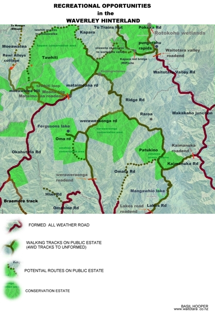
TRAMPERS
Humphries hut Maungarau Omaru river Otaraheke hut Pokeka Pokeka alternative route Puteore Taupe Train's hut DAY TRIPPERS Kapara Mangawhio lakes Maumahaki reserve Ngamatapouri Pungarehu rapids Rotokohu wetlands Waitotara R.mouth Waitahinga trails Waverley inland Waverley beaches Weraweraonga
MAPS
|
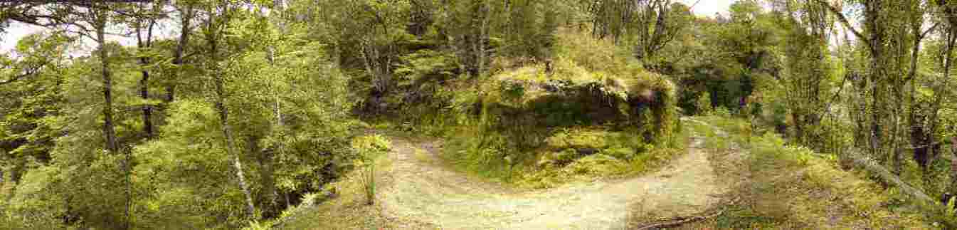
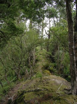
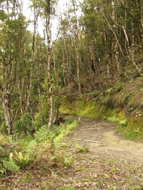
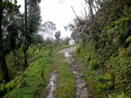
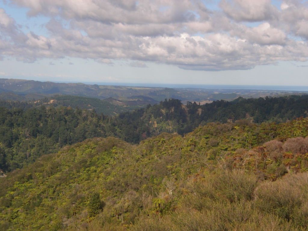
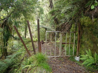
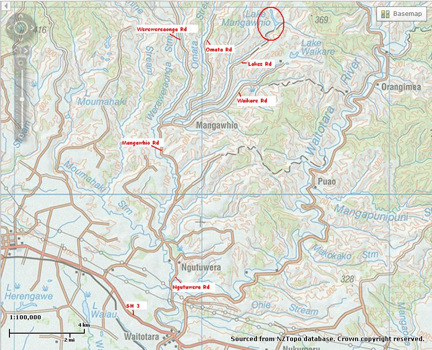
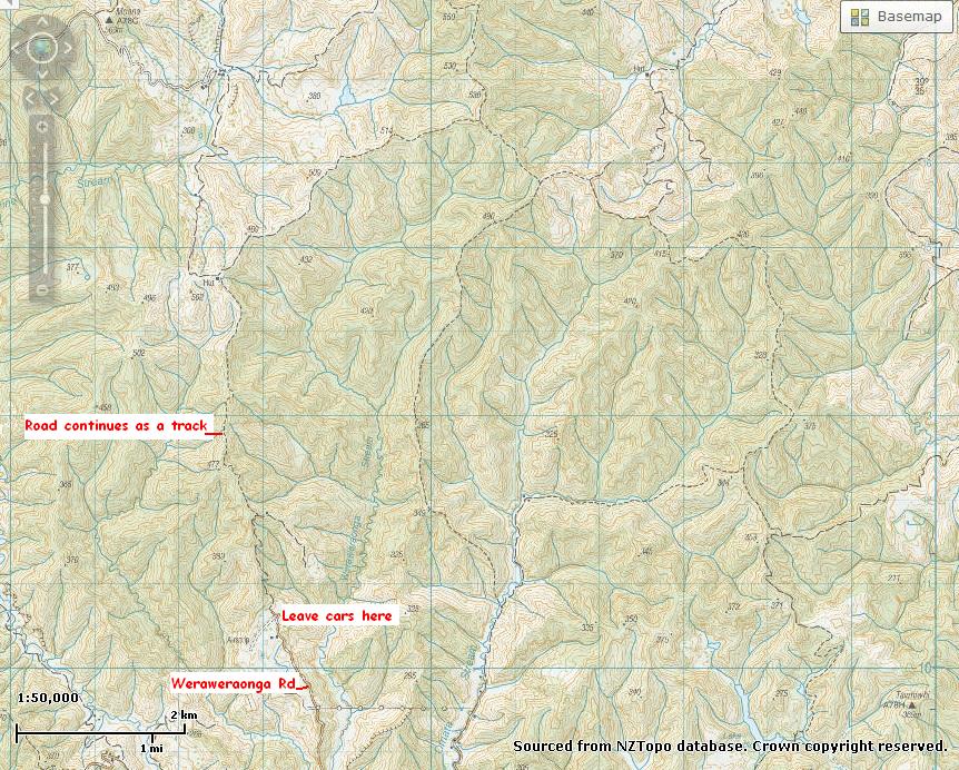
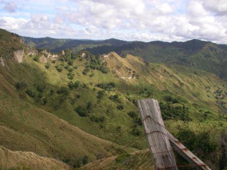
Weraweraonga Road is a
formed road inland from Ngutuwera,
branching off the road to the Mangawhio lakes. At the end of vehicle
access the road continues along to the right. Once a bridle track,
it has now been bulldozed, presumably to allow access at a
later time for logging operations. However regrowth of some vegetation has
occurred and this is still a pleasant walk to make, the road gently
climbing upwards. If the steel gate shown in the
picture is chained, do not be deterred as this is public road. (See
map). If you look at the map of the Waverley hinterland showing the areas where public have a right to be here ie public roads (paper roads) then with good navigating skills you have a variety of overnight options if you do not wish to just return to the car.
|

(all maps modified from WAMS.org.nz)
|
|||||


