 |
||||||
|
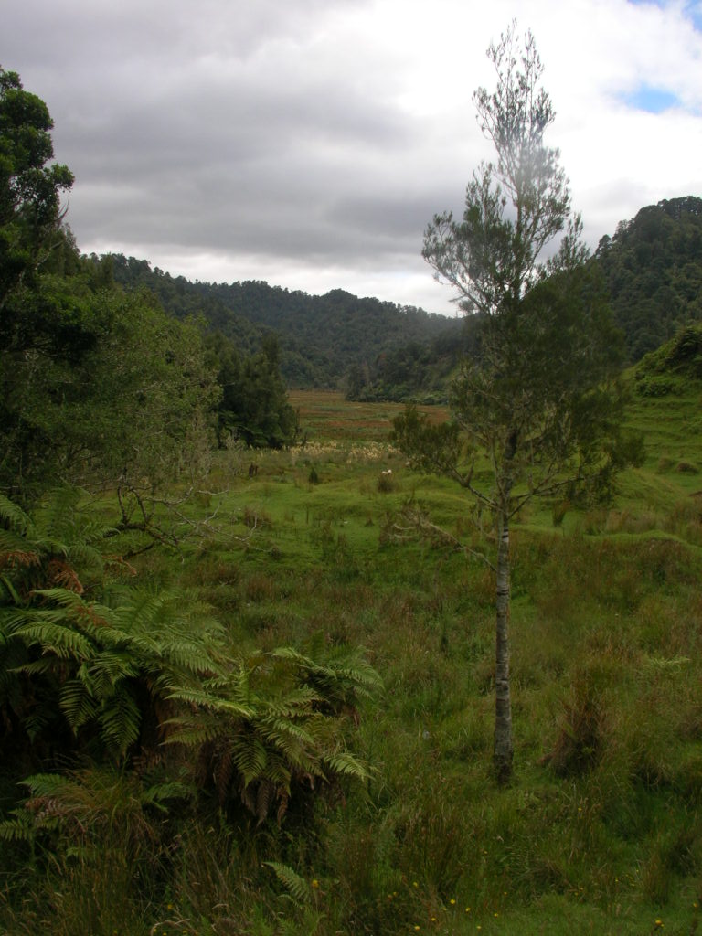
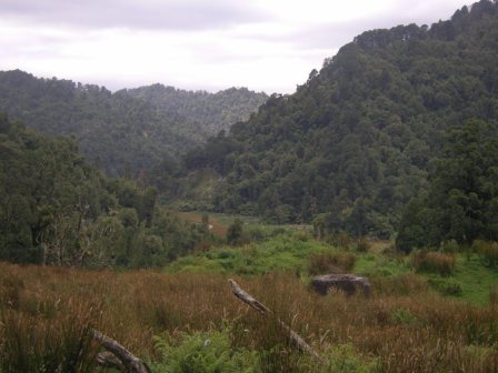
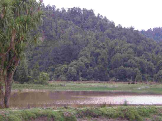
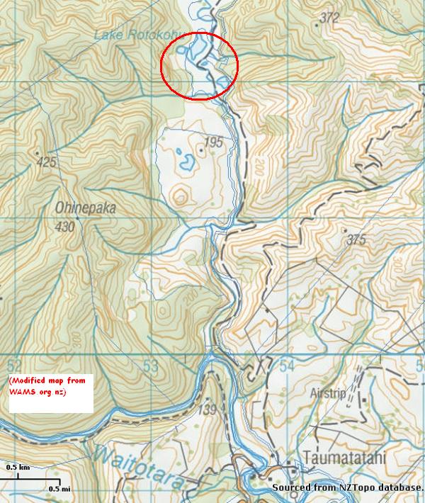
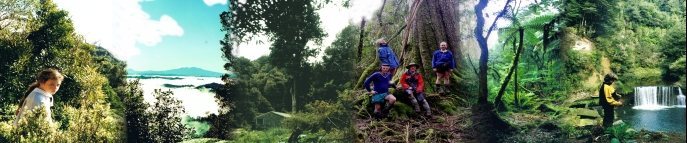
Rotokohu
the wetland
|
||||||
|
||||||
|
TRAMPERS
Humphries hut Maungarau Omaru river Otaraheke hut Pokeka Pokeka alternative route Puteore Tahupo Train's hut DAY TRIPPERS Kapara Mangawhio lakes Maumahaki reserve Ngamatapouri Pungarehu rapids Rotokohu wetlands Waitahinga trails Waitotara R.mouth Waverley inland Waverley beaches Weraweraonga
MAPS
|
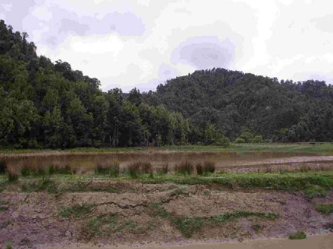
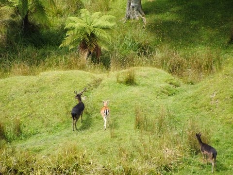
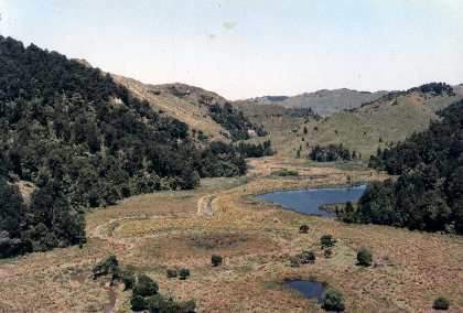
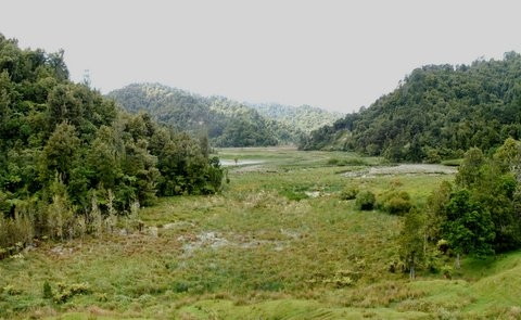 This area has been designated by DoC as an area of high natural value and by the Taranaki Regional Council as the most significant wetland in the Matemateaonga Ecological district. The track that follows the Pokeka valley goes through this wetland, safely following the natural levee on the edge of the Pokeka river. The levee works well but it also allows cattle, goats, sheep, and deer browse through this area daily. Silting up of the Pokeka banks by floods is what perpetuates this wetland where the lake and swamp tends to be somewhat higher than the Pokeka River. DoC's Protected Natural Areas (PNA) report states:
When it was suggested that this wetland was a good reason to keep the Pokeka track open, a local senior DoC
Officer said it was "too precious to boardwalk"!!!! The track to the now extinct Pokeka Hut goes past this wetland. You will need to ask the farmer for permission - it is usually granted to walkers, but not to hunters. The track follows public road for all but the first part and it is this part that necessitates permission. However with mapping skills and access to cadastral information, eg www.WAMS.org.nz you can follow the road reserve all the way. There is an alternative, very scenic access to this area for those will reasonable skills and an ability to cross the Waitotara river safely. Establishment of this access would open up a number of day walk opportunities from this road end.
This wetland was seriously flooded in 2004.
|
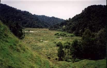 the Rotokohu wetlands from downstream
|
||||